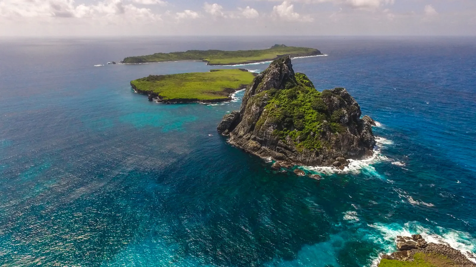
Map of Fernando de Noronha
Where every beach, viewpoint, neighborhood and service is. Use the interactive map to plot routes and the park map to understand the zones.
Beaches, neighborhoods and services
Drag, zoom and click on the points. Save an offline map in your app before traveling: the signal on the island is weak.
One road, two seas, three regions
The BR-363 links the Porto to Sueste in about 7 km. The Mar de Dentro faces the mainland; the Mar de Fora faces the ocean.
- Vila dos Remédios: historic center, church, Forte Noronha, bars and restaurants, all on foot. Nearby are Praia do Cachorro, Praia do Meio, Conceição and Porto de Santo Antônio.
- Vila do Trinta and Florestas: markets, banks, pharmacies, gas station and more affordable pousadas, in the middle of the island, near the airport.
- Boldró and Sueste: Projeto Tamar, ICMBio Visitor Center, Forte do Boldró and upscale pousadas. From here the roads lead to Cacimba do Padre, Baía dos Porcos and Sancho on one side, and to Sueste, Leão and Atalaia on the other.
- Mar de Dentro: Porto, Cachorro, Meio, Conceição, Boldró, Americano, Bode, Quixabinha, Cacimba do Padre, Baía dos Porcos, Sancho and Baía dos Golfinhos.
- Mar de Fora: Sueste, Leão, Atalaia, Caieiras, Buraco da Raquel and the Air France Memorial.
Reference distances (by car)
| Vila dos Remédios → Airport | 5 min |
| Vila → Boldró / Tamar | 7 min |
| Vila → Cacimba do Padre | 12 min |
| Vila → Sancho PIC | 15 min |
| Vila → Sueste | 12 min |
| Sueste → Praia do Leão | 5 min |
| Porto → Cachorro (on foot) | 15 min |
All places and experiences
Every beach, viewpoint, sight and experience in Fernando de Noronha has its own page, with how to get there, hours, tickets and tips.
Beaches
Sights and viewpoints
Tours and experiences
Topographic map of the archipelago
The main island covers 17 km² and rises to 323 m at Morro do Pico. The 20 secondary islands are seabird reserves, closed to visitors.
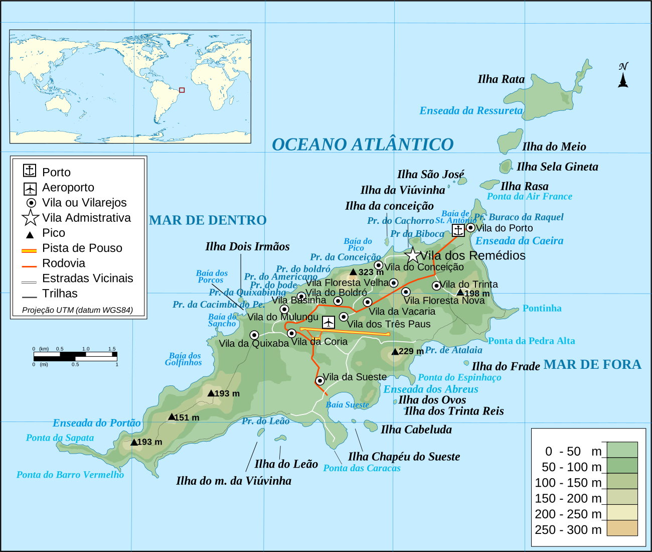
Map: Wikimedia Commons, CC BY-SA license. Credits.
Know where everything is? Now fit it into your calendar.
3, 5 and 7-day itineraries organized by region and tide.